Empire Communications

Your Partner in Field Surveys

Introduction to Field Surveys in GIS

In GIS, field surveys stand as pivotal tools for unlocking the hidden potential of geographical data. At Empire Communications, we specialize in harnessing the power of GIS technology to conduct comprehensive and insightful field surveys. With our expertise and innovative approach, we empower organizations to gain invaluable insights, make informed decisions, and navigate the complexities of the modern landscape.

Field surveys represent a cornerstone of GIS methodology, enabling the data collection, analysis, and interpretation of spatial data in real-world environments. Whether mapping terrain features, assessing environmental conditions, or planning infrastructure projects, the data gathered through field surveys serves as a crucial foundation for informed decision-making and strategic planning.


The Role of Field Surveys in GIS

Field surveys play a multifaceted role in GIS, serving as a bridge between digital data and real-world phenomena. By venturing into the field, our team of skilled professionals collects a wide array of geospatial information, ranging from topographical features and land use patterns to infrastructure assets and environmental indicators.

Through precise measurements, georeferencing techniques, and advanced data collection tools, we capture the intricacies of the physical environment with unparalleled accuracy and precision. This wealth of spatial data forms the backbone of GIS analysis, enabling organizations to visualize spatial relationships, identify patterns, and derive actionable insights.

Field surveys bridge the gap between satellite imagery and on-the-ground reality for GIS data collection. They verify details, capture hidden features, and gather human observations. This enriches your GIS with precise data on land use, infrastructure, and environmental features, leading to more informed decision-making. Combined with GIS, field surveys unlock a powerful data collection approach.

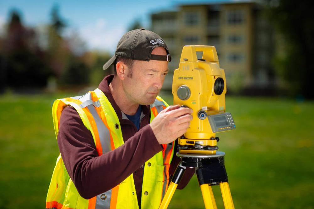
Comprehensive Data Collection: Our field survey services encompass a wide range of data collection methodologies, including GPS/GNSS technology, remote sensing, aerial imagery, and ground-based surveys. We employ the most appropriate techniques to capture diverse spatial data sets tailored to our client's specific needs.

Advanced Mapping Capabilities: Leveraging state-of-the-art GIS software and mapping tools, we transform raw field data into dynamic, interactive maps and spatial visualizations. Our maps provide stakeholders with intuitive insights into spatial patterns, trends, and relationships, facilitating data-driven decision-making and strategic planning.
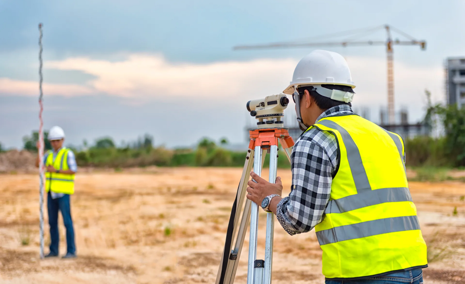
Quality Assurance and Accuracy: At Empire Communications, we uphold the highest standards of quality assurance and accuracy in our field survey operations. Through rigorous validation processes and quality control measures, we ensure that our spatial data sets are reliable, consistent, and fit for purpose.

Customized Solutions: We understand that every project is unique, with its own set of challenges and objectives. That's why we work closely with our clients to develop customized field survey solutions that address their specific requirements and deliver tangible results.

In today's rapidly evolving landscape, the ability to harness the power of spatial data is more critical than ever. At Empire Communications, we are committed to helping organizations unlock the full potential of GIS through comprehensive field surveys that yield actionable insights and drive meaningful outcomes.

At Empire Communications, we recognize the significance of field surveys in GIS and the transformative impact they can have on organizations across diverse industries. Leveraging cutting-edge technology and a wealth of experience, we offer tailored solutions that align with our client's unique objectives and requirements.

Partner with us to embark on a journey of discovery, innovation, and transformation. Let Empire Communications be your trusted ally in navigating the complexities of the digital age and unlocking the limitless possibilities of GIS technology. Together, we can chart a course towards a more connected, informed, and sustainable future.

Fast forward to tomorrow our vision is your reality.

Our Services